CaGIS/ASPRS 2013 Specialty Conference • www.asprs.org/Conferences/San-Antonio-2013
25
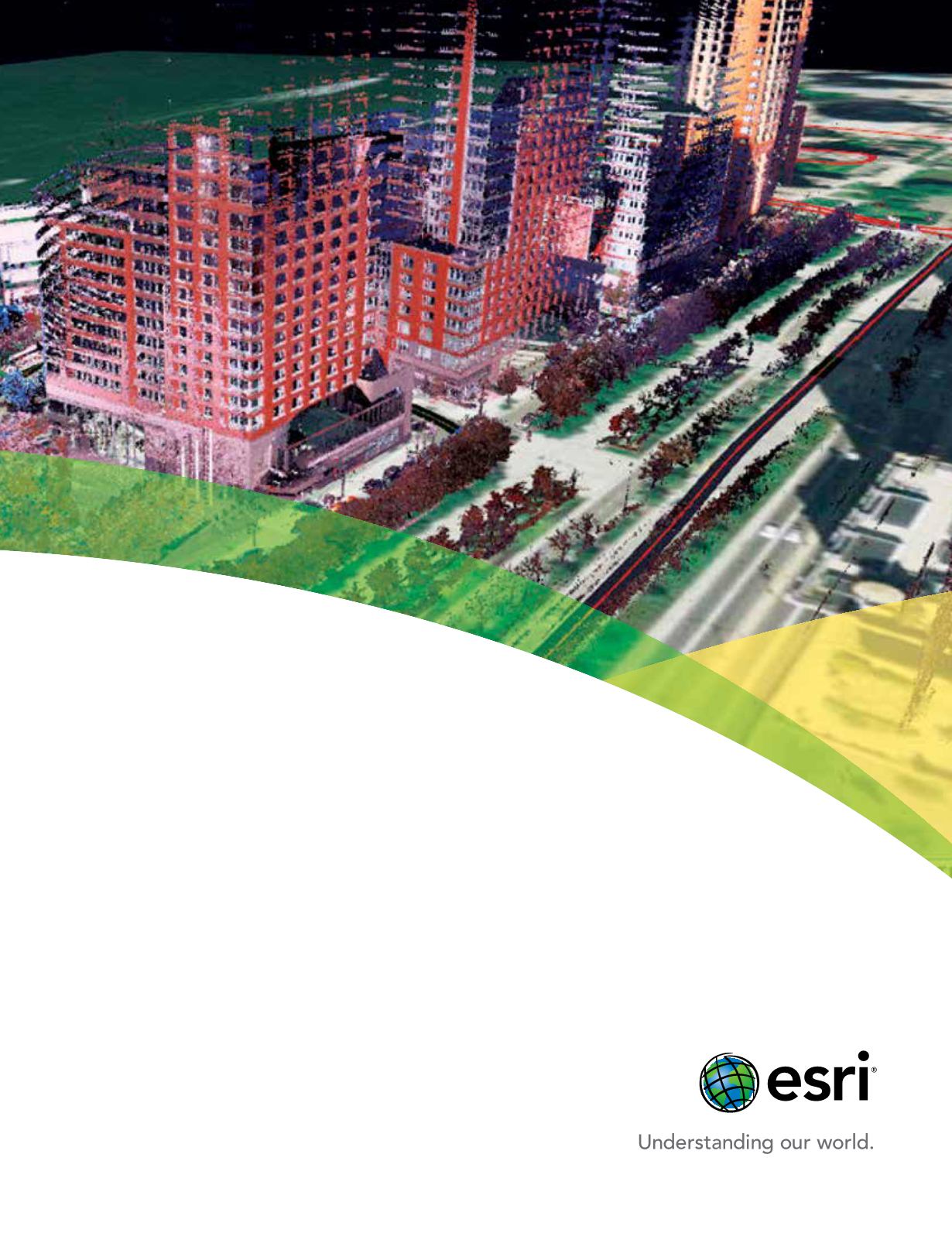
Your data needs to live
beyond the project.
Once you have collected lidar and imagery data for
a particular project, there’s no reason to stop there.
Get more out of your investment using Esri
®
ArcGIS
®
software. You can manage these massive volumes of
data for many other purposes. ArcGIS provides the
automation, on-the- y processing, and visualization
that make accessing and analyzing remotely sensed
data easier. Make your lidar and imagery data
accessible with ArcGIS.
Copyright© 2013Esri.All rights reserved.


